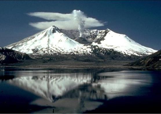
Mt St Helens; seen from Spirit Lake - USGS
Mt St Helens is the most active volcano in the Cascade Range, in the Gifford Pinchot National Forest. At 8:32 am on the 18th of May 1980, it violently erupted out of the north side of the volcano, the first major eruption in the US since 1915.
The eruption itself killed fifty seven people, only the commitment and courage of several USGS (United States Geological Society) scientists preventing a much greater catastrophe. They managed to convince the authorities to close the mountain to the general public, under great pressure to keep it open.
The eruption was massive, emitting 0.7 cubic miles of material travelling at speeds of over three hundred miles per hour and measuring 5 on the VEI scale (Volcanic Explosivity Index). It also emitted a cloud of ash 80 000 feet high and covering an area of 22 000 square miles, making a layer of ash one inch deep sixty miles away.
